R348 (Republic of Ireland)
Jump to navigation
Jump to search

R 348 | |
|---|---|
| Bóthar R348 (Irish) | |
| Route information | |
| Length | 51 km (32 mi) |
| Location | |
| Country | Republic of Ireland |
| Primary destinations |
|
| Highway system | |


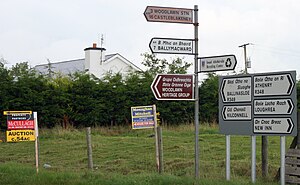
The R348 is a regional road in Ireland stretching east–west for 51 km (32 mi) along a route north of the R446. It leaves the R446 east of Oranmore and rejoins it in Ballinasloe. The full length of the road lies within County Galway.
The route passes through the southern end of Athenry and several small villages.


Information at the junction with the R359, 2 km from Woodlawn railway station