National Highway 512 (India)
Jump to navigation
Jump to search
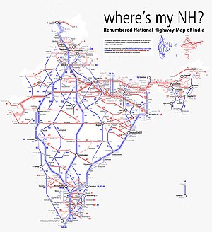
Map of the National Highway in red | ||||
| Route information | ||||
| Length | 96 km (60 mi) | |||
| Major junctions | ||||
| West end | Gazole, Malda district | |||
| Daulatpur, Buniadpur, Gangarampur, Balurghat | ||||
| East end | Hili, Dakshin dinajpur district | |||
| Location | ||||
| Country | India | |||
| States | West Bengal | |||
| Highway system | ||||
| ||||
National Highway 512 (NH 512) is a highway in the Indian state of West Bengal. It is proposed to build four lane road.[1] It runs from Gazole to Hili border with Bangladesh. On the other side of the border, the road continues as Hili-Birampur Highway.[2]
Changeover
The Gazole-Hili stretch is shown both as part of State Highway 10 (West Bengal) and NH 512 in Google maps and other places. The West Bengal government, with the permission of the central government, has taken up the repair and maintenance of six major highways, which will eventually be raised to the status of a national highway. This includes the Gazole-Hili stretch.[3]
Route
Gajol - Daulatpur - Bansihari- Gangarampur - Harsura - Balurghat - Hilli (near Indo/Bangladesh Border).[1][4]
See also
References
- ^ a b "New highway 512, notification dated March, 2014" (PDF). The Gazette of India - Ministry of Road Transport and Highways. Retrieved 16 July 2018.
- ^ Google maps
- ^ "West Bengal to raise six state highways to give national highway status". The Times of India. The Times of India, 2 August, 2014. 2 August 2014. Retrieved 14 July 2017.
- ^ "State-wise length of National Highways (NH) in India as on 30.06.2017". Ministry of Road Transport and Highways. Retrieved 16 July 2018.
