National Highway 42 (India)
Jump to navigation
Jump to search
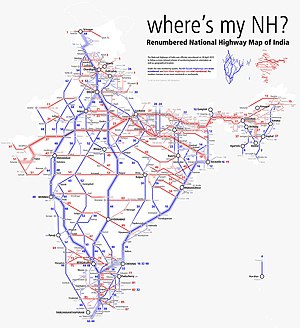
Map of the National Highway in red | ||||
| Route information | ||||
| Length | 401 km (249 mi) | |||
| Major junctions | ||||
| North end | Joladarashi | |||
| Kadiri, Madanapalli, Kuppam | ||||
| South end | Krishnagiri | |||
| Location | ||||
| Country | India | |||
| States | Karnataka Andhra Pradesh Tamil Nadu | |||
| Primary destinations | Anantapur, Kadiri, Madanapalle, Punganur, Venkatagirikota, Palamaner, Kuppam | |||
| Highway system | ||||
| ||||
National Highway 42 (NH 42), (previously part of old National Highways 205 and 219), is a major National Highway in India, that runs in the states of Tamil Nadu Andhra Pradesh and Karnataka .[1] The northern terminal is at the National Highway 44 junction North of Anantapur inside Karnataka state and the southern terminal is at the National Highway 44 junction near Krishnagiri in Tamil Nadu.[2][3]
Route
In Karnataka, it passes through Joladarashi chellakurki in bellary district.
In Andhra Pradesh, it passes through Anantapur, Kadiri, Madanapalle, Punganur, Palamaner, Venkatagirikota and Kuppam.
In Tamil Nadu, it connects Krishnagiri with its junction with NH 44.[citation needed]
Route length in states:
Junctions
This article contains a bulleted list or table of intersections which should be presented in a properly formatted junction table. |
NH 544DD near Kuderu
NH 44 near Anantapur
NH 716G near Kadiri
NH 340 near Angallu
NH 71 near Madanapalle
NH 69 near Palamaneru
NH 75 near Venkatagirikota
NH 48 near Krishnagiri
NH 44 Terminal near Krishnagiri
See also
References
- ^ "The List of National Highways in India" (PDF). Ministry of Road Transport and Highways. Retrieved 31 December 2019.
- ^ "Rationalisation of Numbering Systems of National Highways" (PDF). New Delhi: Department of Road Transport and Highways. Retrieved 3 April 2012.[permanent dead link]
- ^ a b c "List of National Highways passing through A.P. State". Roads and Buildings Department. Government of Andhra Pradesh. Archived from the original on 28 March 2016. Retrieved 11 February 2016.
- ^ "State-wise length of National Highways (NH) in India as on 30.11.2018". Ministry of Road Transport and Highways. Archived from the original on 4 June 2019. Retrieved 31 December 2019.
External links
Route map
