National Highway 39 (India)
Jump to navigation
Jump to search
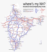
Map of the National Highway in red | ||||
 NH 39 (former NH75) | ||||
| Route information | ||||
| Length | 869 km (540 mi) | |||
| Major junctions | ||||
| West end | Jhansi | |||
| East end | Ranchi | |||
| Location | ||||
| Country | India | |||
| States | Uttar Pradesh, Madhya Pradesh, Jharkhand | |||
| Highway system | ||||
| ||||
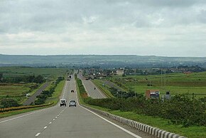
National Highway 39 (NH 39) is a National Highway in India. This highway passes through the Indian states of Madhya Pradesh, Uttar Pradesh and Jharkhand.[1]
Route
This 869-kilometer-long (540 mi) highway passes through Jhansi, Chhatarpur, Panna, Satna, Rewa, Rampur Naikin, Sidhi, Singrauli, Renukut, Shaktinagar, and some major town in Jharkhand
The 262 km stretch in Jharkhand starts from bilaspur village, Garhwa , connecting NH-139 in Daltonganj, then passes through Latehar, connecting NH-22 at Chandwa, connecting NH-143A in Kuru, Lohardaga then passes through Chanho, Mandar, Ratu, and finally ends at Ring Road, Tupudana, Ranchi
See also
- List of National Highways in India
- List of National Highways in India (by Highway Number)
- National Highways Development Project
References
- ^ "Rationalisation of Numbering Systems of National Highways" (PDF). New Delhi: Department of Road Transport and Highways. Archived from the original (PDF) on 31 March 2012. Retrieved 3 April 2012.
