National Highway 21 (India)
Jump to navigation
Jump to search

Map of National Highway 21 in red | ||||
 Ghat ki Guni Tunnel near Jaipur | ||||
| Route information | ||||
| Length | 465 km (289 mi) | |||
| Major junctions | ||||
| West end | Jaipur | |||
| East end | Bareilly | |||
| Location | ||||
| Country | India | |||
| States | Rajasthan, Uttar Pradesh | |||
| Primary destinations | Jaipur, Dausa, Bharatpur, Agra, Budaun, Bareilly | |||
| Highway system | ||||
| ||||
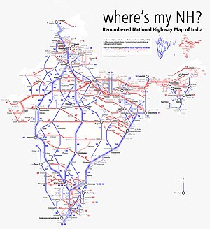
National Highway 21 (NH 21) is a primary national highway in India. This highway connects Jaipur in Rajasthan to Agra and Bareilly in Uttar Pradesh[1][2] This national highway is 465 km (289 mi) long.[3]
Route
- Jaipur to Bharatpur
- Bharatpur to Agra
- Agra to Sikandra Rao
- Sikandra Rao to Budaun
- Budaun to Bareilly
Jaipur to Agra section of NH 21 was known as NH 11 before renumbering of all national highways by Ministry of Road Transport and Highways in 2010.[4]
Junctions
This article contains a bulleted list or table of intersections which should be presented in a properly formatted junction table. |
NH 48 Terminal near Jaipur.
NH 52 near Jaipur
NH 248 near Jaipur
NH 148 near Dausa
NH 921 near Mahwa
NH 123 near Uncha Nagla
NH 321 near Kiraoli
NH 44 near Kiraoli
NH 509 near Agra
NH 34 near Sikandra Rao
NH 530B near Sikandra Rao
NH 30 Terminal near Bareilly.
See also
References
- ^ "Rationalisation of Numbering Systems of National Highways" (PDF). New Delhi: Department of Road Transport and Highways. Archived from the original (PDF) on 1 February 2016. Retrieved 3 April 2012.
- ^ "Press Information Bureau - GOI". Retrieved 21 Feb 2018.
- ^ "The List of National Highways in India" (PDF). Ministry of Road Transport and Highways. Retrieved 14 October 2019.
- ^ "New Numbering of National Highways notification - Government of India" (PDF). The Gazette of India. Retrieved 14 October 2019.
External links
Wikimedia Commons has media related to National Highway 21 (India).
